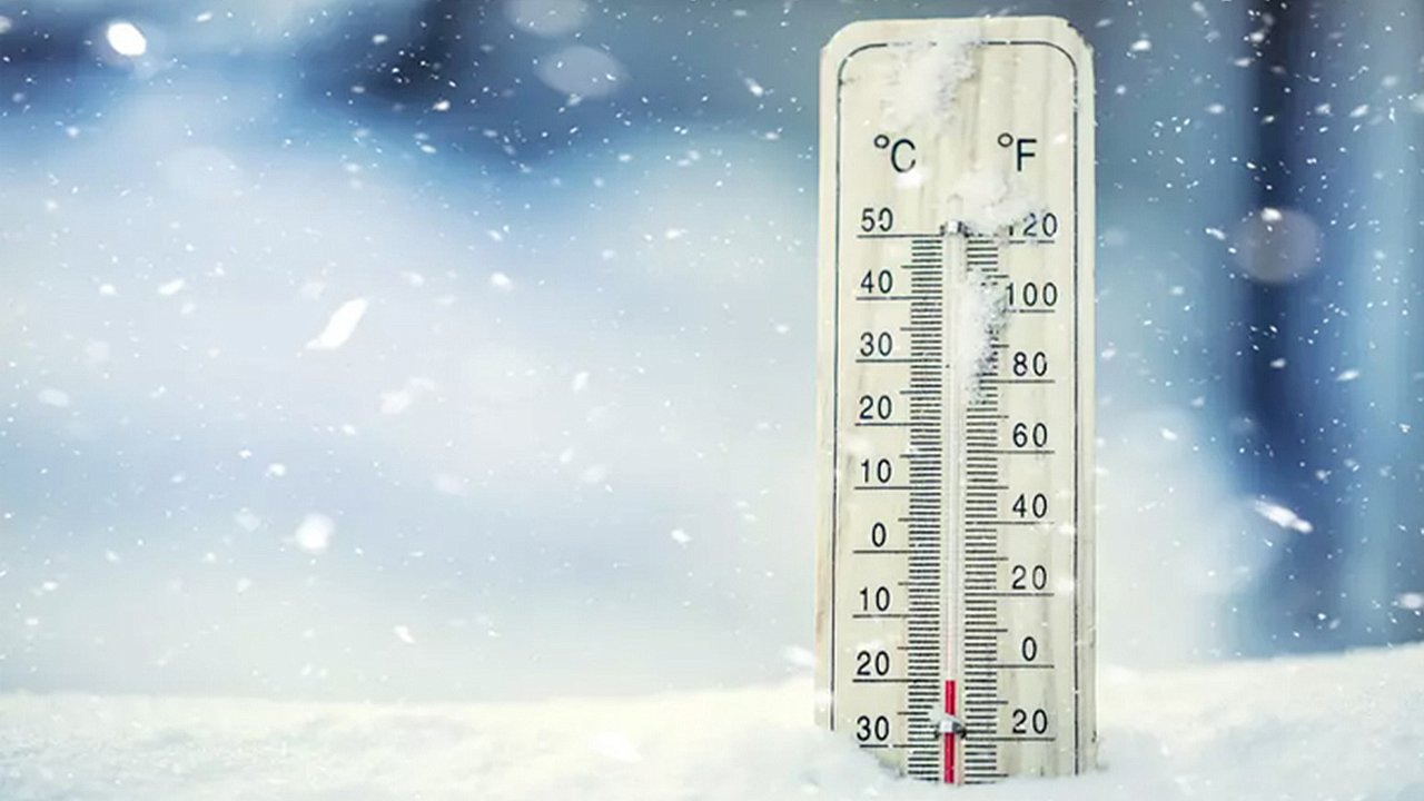
An arctic blast plunged Colorado into a deep freeze, with temperatures dropping to their lowest in years. Fraser Flats, located south of Tabernash in Grand County, recorded an astonishing minus 44 degrees from Monday night into early Tuesday morning. This temperature is not only the lowest recorded in Colorado during the cold snap but may also rank as the coldest nationwide, including interior Alaska.The Pinpoint Weather team had issued multiple weather alerts ahead of the extreme conditions, tracking the arctic system from its arrival Friday afternoon. The subzero temperatures persisted through the weekend, with the coldest night occurring Monday into Tuesday.Colorado’s Coldest Spot
The National Weather Service (NWS) confirmed Fraser Flats’ frigid low with high confidence, calling it one of the coldest temperatures recorded in the U.S. during the system. Just north of Fraser Flats, Harbison Meadow near Lake Granby registered a chilling minus 40 degrees, further cementing Grand County’s reputation as a cold-weather hotspot.Pinpoint Weather Meteorologist Travis Michels explained that areas like Fraser Flats and Harbison Meadow are frequently among the nation’s coldest due to their unique geography and elevation.Weekend Lows and Denver’s Chill
While Monday night was the coldest of the arctic blast, the weekend also saw frigid conditions. The NWS recorded a low of minus 34 degrees eight miles southwest of Lake George from Saturday to Sunday. Denver, though not as severely affected, experienced subzero temperatures as well. The coldest point at Denver International Airport was minus 14 degrees late Monday night.Warming Trend and What’s Next
After nearly four days of relentless cold, temperatures finally climbed above freezing on Tuesday afternoon, offering much-needed relief. The Pinpoint Weather team predicts a gradual warming trend, with daytime highs ranging from 33 to 48 degrees through Friday.Friday is expected to be the week’s warmest day, with highs in the upper 40s. However, another system is on the horizon. The weekend forecast includes a return to below-freezing temperatures, with highs around 28 degrees on Saturday and light snow possible.