Tonight’s Weather Breakdown
Colorado Springs Forecast
Low: 35°F | High: 55°F
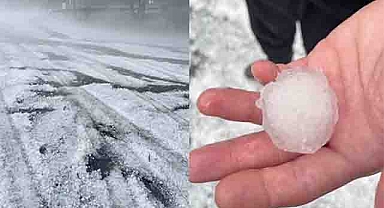
Rain showers will persist overnight, becoming heavy at times. Temperatures may drop into the mid-30s, briefly allowing a mix of rain and snow. However, the precipitation will remain mostly rain through Saturday, accompanied by gusty winds.Pueblo Forecast
Low: 44°F | High: 59°F
Pueblo will stay in the 40s overnight, with rain continuing through the night and into Saturday morning. Showers will ease by late afternoon, though a few could linger. A gradual warming trend follows this system.Cañon City Forecast
Low: 45°F | High: 57°F
Rain will move through Cañon City overnight as temperatures dip into the mid-40s. Highs on Saturday will hover in the upper 50s. Expect drier and warmer conditions to return by early next week.Woodland Park Forecast
Low: 30°F | High: 51°F
With sub-freezing temperatures tonight, Woodland Park may wake up to a dusting of snow. Flurries will be possible overnight before the area warms into the low 50s on Saturday. A warming trend will follow for the rest of the weekend.Tri-Lakes Forecast
Low: 30°F | High: 52°F
The Tri-Lakes region may see light snow accumulate overnight as temperatures fall below freezing. Rain will also move through, though highs will rise to the low 50s on Saturday.Plains Forecast
Low: 40s | High: 60s
The plains will remain warmer than other regions, with overnight lows in the 40s and daytime highs in the 60s. Showers and thunderstorms are expected, bringing much-needed moisture to these areas.Walsenburg and Trinidad Forecast
Low: 39–40°F | High: 51–53°F
Heavy rain will continue through tonight, particularly in Trinidad, with lingering showers lasting into Saturday. Expect chilly daytime highs in the lower 50s.Mountains Forecast
Low: 30s | High: 50s
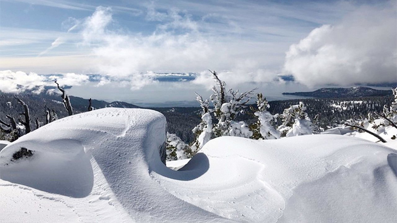
The mountains are under winter weather advisories, with snow accumulating in higher elevations. Pikes Peak and surrounding areas could see a few inches by morning, while western mountains may receive several feet. Mountain passes, including Wolf Creek Pass, could become slick, so drivers should take caution.Extended Outlook
This weekend’s weather will peak with Saturday’s storm. Lingering showers are expected on Sunday, but by Monday, conditions will dry out and temperatures will rise. The week ahead looks mild and dry, with many areas returning to highs in the 70s.
Colorado Springs Forecast
Low: 35°F | High: 55°F
Rain showers will persist overnight, becoming heavy at times. Temperatures may drop into the mid-30s, briefly allowing a mix of rain and snow. However, the precipitation will remain mostly rain through Saturday, accompanied by gusty winds.Pueblo Forecast
Low: 44°F | High: 59°F
Pueblo will stay in the 40s overnight, with rain continuing through the night and into Saturday morning. Showers will ease by late afternoon, though a few could linger. A gradual warming trend follows this system.Cañon City Forecast
Low: 45°F | High: 57°F
Rain will move through Cañon City overnight as temperatures dip into the mid-40s. Highs on Saturday will hover in the upper 50s. Expect drier and warmer conditions to return by early next week.Woodland Park Forecast
Low: 30°F | High: 51°F
With sub-freezing temperatures tonight, Woodland Park may wake up to a dusting of snow. Flurries will be possible overnight before the area warms into the low 50s on Saturday. A warming trend will follow for the rest of the weekend.Tri-Lakes Forecast
Low: 30°F | High: 52°F
The Tri-Lakes region may see light snow accumulate overnight as temperatures fall below freezing. Rain will also move through, though highs will rise to the low 50s on Saturday.Plains Forecast
Low: 40s | High: 60s
The plains will remain warmer than other regions, with overnight lows in the 40s and daytime highs in the 60s. Showers and thunderstorms are expected, bringing much-needed moisture to these areas.Walsenburg and Trinidad Forecast
Low: 39–40°F | High: 51–53°F
Heavy rain will continue through tonight, particularly in Trinidad, with lingering showers lasting into Saturday. Expect chilly daytime highs in the lower 50s.Mountains Forecast
Low: 30s | High: 50s
The mountains are under winter weather advisories, with snow accumulating in higher elevations. Pikes Peak and surrounding areas could see a few inches by morning, while western mountains may receive several feet. Mountain passes, including Wolf Creek Pass, could become slick, so drivers should take caution.Extended Outlook
This weekend’s weather will peak with Saturday’s storm. Lingering showers are expected on Sunday, but by Monday, conditions will dry out and temperatures will rise. The week ahead looks mild and dry, with many areas returning to highs in the 70s.